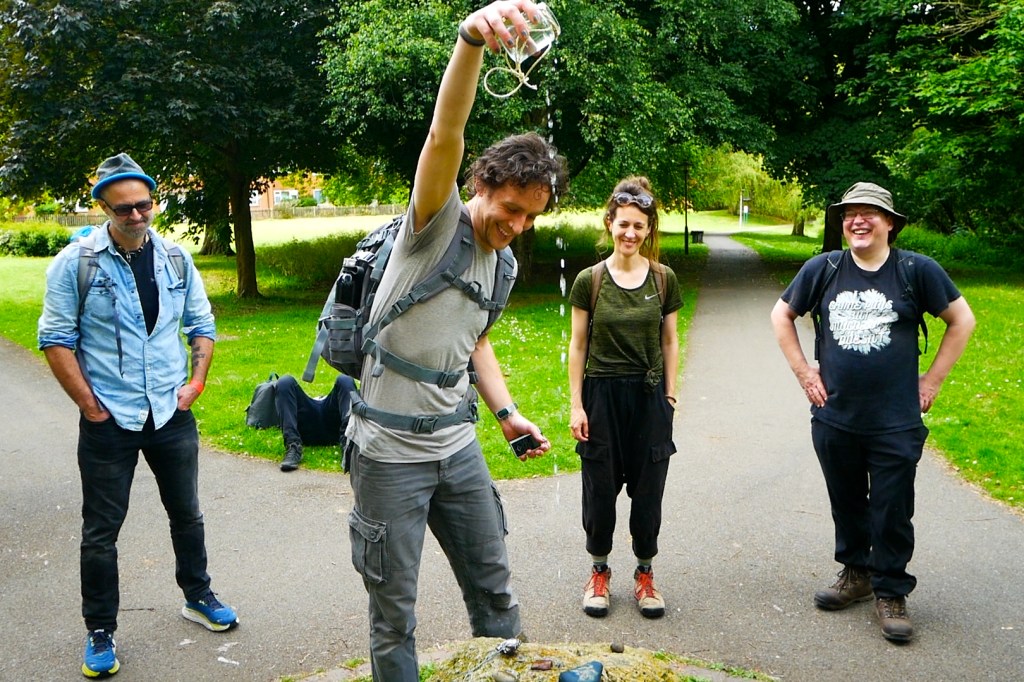
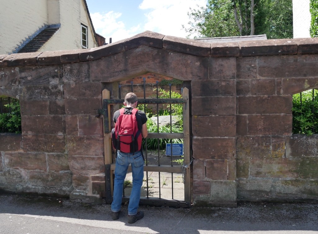
15th December 2024. Wolverhampton. I meet Clive outside The Sunbeam pub, a Greene King lacklustre lounge, where, according to a subtitle as you hover on google maps, ‘a warm welcome awaits you.’ I wonder aloud to Clive whether this is something the company boasts of all their chains or is a specific, solar play on words meant to delight the locals of this city. He doesn’t respond particularly to this, either because he is embarrassed for me by my attention to this dull detail, giving the first inkling of missteps in our badinage as the day will progress, or because he hasn’t yet had any breakfast. If I had known, I suppose I could have brought his attention to the association of the name ‘Sunbeam’ to the car industry in the area, but then I have, uncharacteristically, not done my research.
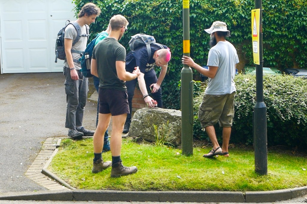
Nevertheless, I want to hang the day on something, and I will attempt to talk and walk with Clive around the theme of ‘things being re-purposed, and who gets to decide why and how.’ He’s come over to this territory at my behest, and the latest main seam in our rich friendship has passed from football, books, and boozing to walking. I’m not sure how this happened, but the Black Country has had something to do with it.
We go inside in search of a cheap full English and are not disappointed, at least by the price. Where we sit, mock-ups of Sunbeam car manuals are noticeable on the walls above Clive’s head, similar in form to the Volkswagen car manual T-shirts racked up in supermarket ‘fashion’ sections, hoping soon to be stretched over the belly of a man with no practical working knowledge of cars. Whether someone is supposed to look up from their rubbery pork and take pride in the fact that Wolverhampton once made vehicles such as The Sunbeam 1000hp (the first to break the 200mph speed barrier at Daytona Beach in Florida in 1927) is unclear.
What is noticeable, stacked at the lectern facing the door, (to which no member of staff goes anywhere near), are white laminated signs with wadges of blu-tack in the corners, and the badge of Wolverhampton Wanderers Football Club in the middle. Bold Times New Roman underneath this states, ‘Home Supporters Only’. Anything like this makes you feel immediately sorry for the staff. It suggests that at some point in the recent past there must have been conflict amongst the patrons of The Sunbeam along football-tribal lines, alcohol seeping through the pores of men unable to put aside their performed differences for the sake of a £4.99 breakfast, and transmuting itself as the fuel for threats vague or specific, possibly precisely underneath where the ‘elf on the shelf’ figurines now dangle from the ceiling, next to the ‘fancy an extra sausage?’ signage.
How far this all is, a sanguine onlooker might think, from the diligent workers on the Daytona Beach project, competing healthily with their American rivals to get to the speed record first. A recent appeal by The National Motor Museum and the local Express and Star newspaper sought to find family members of those who helped build The Sunbeam 1000hp. It seems unlikely in 100 years that any organisations will be looking for relatives of those who worked behind the bar of The Sunbeam on matchdays, but who knows? ‘We’d love to uncover and record memories before they fade’ John Murden of The National Motor Museum states. Indeed.
The football club and the adjacent university compete for dominance in Wolverhampton, kept apart by a 1970s ring road referee. Both today will have occasion to haunt my own experiences of the city, as I share them with Clive. They are polished new-ish builds in bold colours that contrast with the discarded shell, picked over by various migratory birds, that characterises the built environment of the rest of the city centre. Walking through it, you feel that if the town had a taste, it would be of a cardboard toasted panini that you bought in desperation but regret immediately and don’t want to finish. Which is how, as a student here in the mid-2000s I often felt about my undergraduate degree.
Out of the underpass and wandering around the edge of Molineux stadium, a jarring, much earlier memory lodges; of being in a stand behind one of the goals at around 15 years old. It is late summer, late 1990’s and I am with my dad, and two of his mates from work. My dad and I are Villa fans, and the tickets are pre-season friendly freebies from these mates of his. Prior to this outing, my dad has shared an anecdote about one of them, who has sold his recently deceased mum and dad’s Wolverhampton house. He had apparently gone out of his way to assure his late parents’ neighbours that he would not be selling their house ‘to an Asian person.’
It’s half time, and this mate asks me, nodding towards the pitch, ‘What do you think then?’ I assume that, as it is my first time at his home team’s stadium, rather than get my tactical assessment of the first half action, he means what I think of the building’s aesthetics, and I point out how much I like the orange stanchion areas jutting into the sky at each corner of the ground. I remember the laughter, the incredulous faces, and the pensive look of my dad, who must have felt like he had brought a young Denton Welch to the game. The memory still frustrates (I like football; I just struggle when discussing tactics). What would those two mates of my dad think of our walk today? If I try hard, maybe I can convince myself that my walks in the last year or two have rejected the moral of this story, the idea that you’re not meant to look up at places, buildings, things at the expense of the more obvious ‘present’ action. Have they been in part exercises at re-training myself to notice what might mean more than, say, a pre-season friendly? Bit of a stretch, maybe. But, for today at least, we are just wanderers.
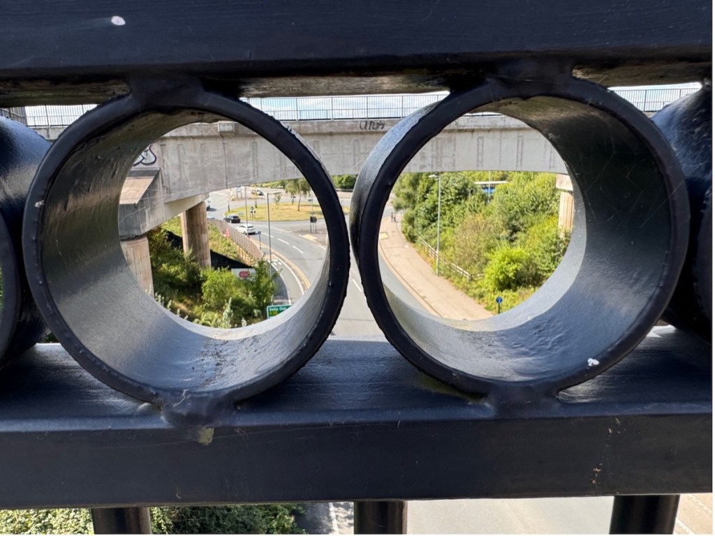
We head northwest out of the city centre looking for the Hordern Road. Halfway along Hordern, in Tettenhall, The Golden Eagle pub sits at the junction with Court Road. It’s square, stocky, brick façade features an arched double doorway that has a large red plaque above it bearing the date 1928. Perched atop the date is the eponymous animal in gold, wings aloft, with a gaping hole reaching far back into the brickwork where its head should be. A similar sized but much younger sign to the right of the doorway bears the imperatives ‘NO PARKING. NO UNAUTHORISED VEHICLES.’ This sign hints at the more recent history of this public house building, which was in the local news for being repurposed as a mosque without the proper planning permission. Reports on this ‘misuse’ included quotes from residents complaining of ‘chocablock’ traffic on Fridays. One unidentified Tettenhall resident swore that they had no problem with the building being used as a mosque, ‘as long as it was done through the proper channels’’. In tribute perhaps to the 16th Century English Reformation and its rejection of requiring the assistance of the proper channels to access salvation, the number of cars parked outside the building and on the pavement on the day Clive and I walk past suggest that the following of local council rules and regulations is still not the primary concern of the current patrons.
In recent Wolverhampton news prior to our walk there has been soul searching in the city over the fate of its most famous brewery, Banks’, whose final closure was apparently on the cards as soon as they were sold to international majority shareholders The Carlsberg Group a few years ago. Perhaps this is a money-spinner that was overlooked, leasing the empty public houses on the outer edge of the ring road as repurposed places of worship for the current working class of the city. But of course, something would have to have been done about that Friday traffic. There’s something about the Golden Eagle building and the contradictions about its use and reuse, permissions granted, refused or ignored.
Not far from here in Whitmore Reans is West Park Primary School, infamously alluded to in an alarmist speech (not that one) by Enoch Powell in the late 1960s in which he wrongly stated that it had only one white child on its registers. Powell himself recently (2018) fell afoul of the planning permission politics of local government when the Civic and Historical Society of Wolverhampton refused calls from some quarters for a blue plaque to be placed in the city honouring his status as a famous local MP. One of the difficulties, other than the obvious apparently, was finding a suitable place to locate the thing. Perhaps using it to paper over the gaping hole of this beheaded Golden Eagle, or even adding an Enoch bust to the bird, so that he could stand guard over this holy place and prevent ‘unauthorised access’ being ignored in perpetuity? Later on this same day we will stop at a ‘desi pub’, The Firs in Castlecroft which forms a nice contrast to the fate of the Golden Eagle. You can continue operating as a pub and sell food that tastes of things, it seems to say, but don’t bring your God into our sacred buildings. And please ensure you have ample parking.
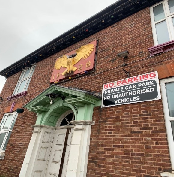
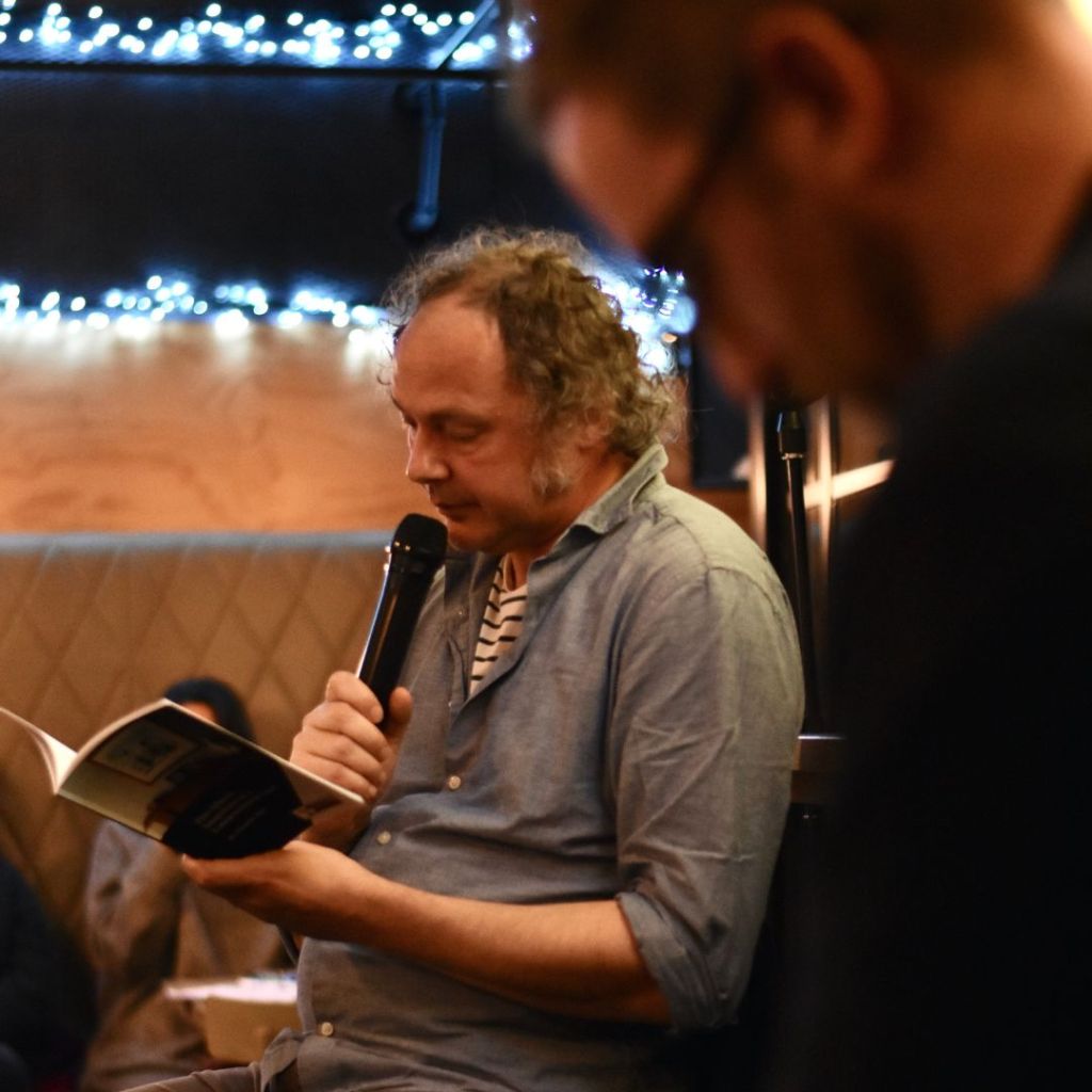
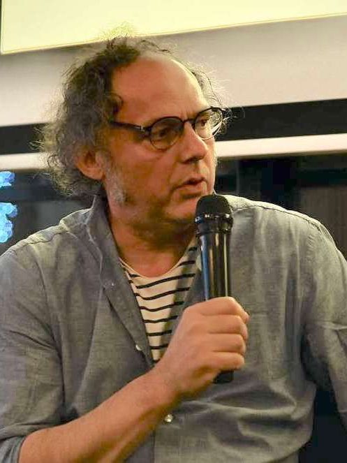
Clive reacts well to a brief history of The Eagle, his eyes really lighting up for the first time today, and he starts taking photos. I immediately become aware of being watched while he does this; fearing questions from furtive looking local residents, I try and move us on a bit further only to be confronted by The Suncentre, surely one of the oddest-looking buildings ever to be repurposed as a tanning salon. It is a barn like brick shed, quite long, with an obvious lack of possible entry points for any natural sunlight. To add to the visual unease, it has a Wicker Man-esque smiling sun logo. These uncontroversial pagan worship spots crop up on many local high streets in the Black Country and are always irresistible to eyeball, hoping to catch a glimpse of the orange proprietor or find out just who the hell can be using them. Clive gets snapping and he’s really enjoying himself now as we amble down the road past a man waiting at a bus stop who gives us a good stare. I feel self-conscious and embarrassed that we are seen laughing at the area this man may call home, even though I can be fairly confident he’s not either the small business owner of the tanning salon or worshipper at the covert mosque. I need some of Clive’s confidence and ease, he’s a more seasoned flâneuric piss-taker with a purpose than I.
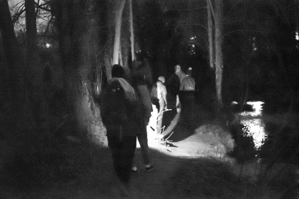
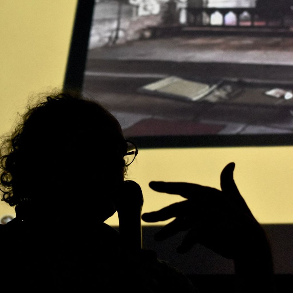
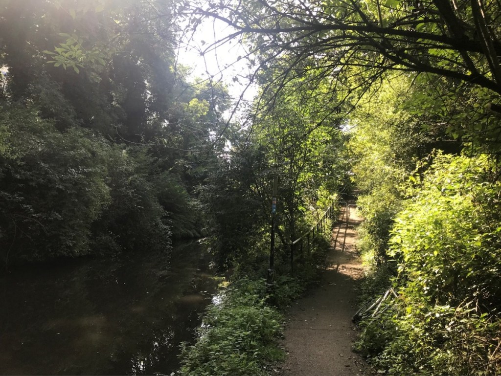
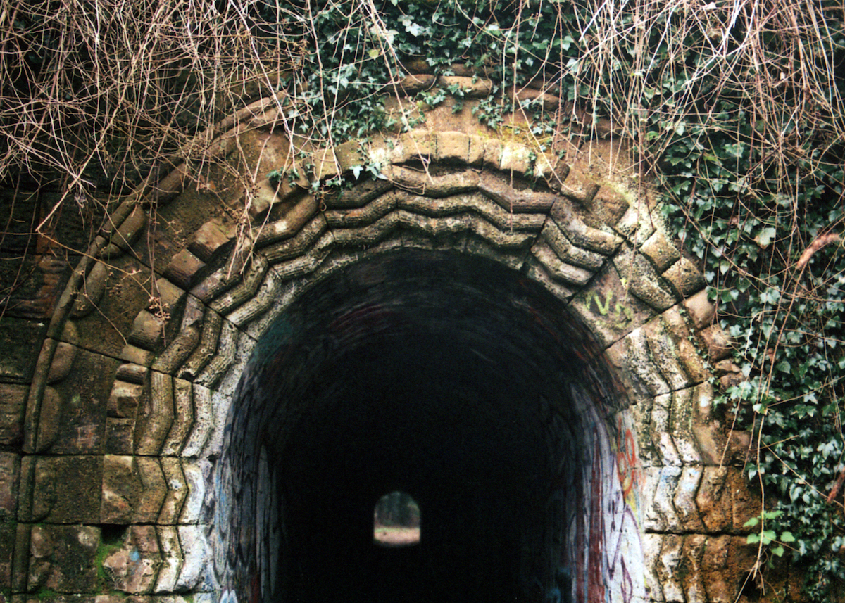
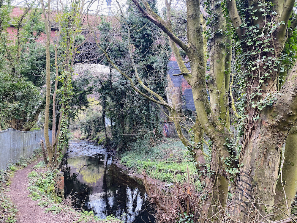
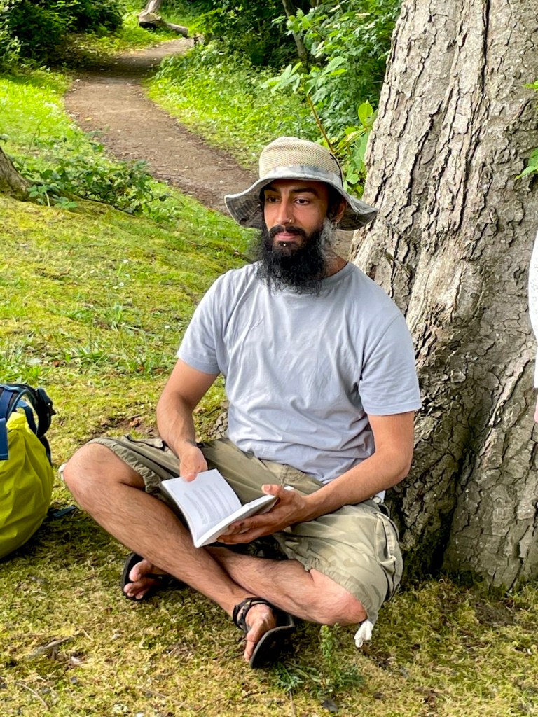
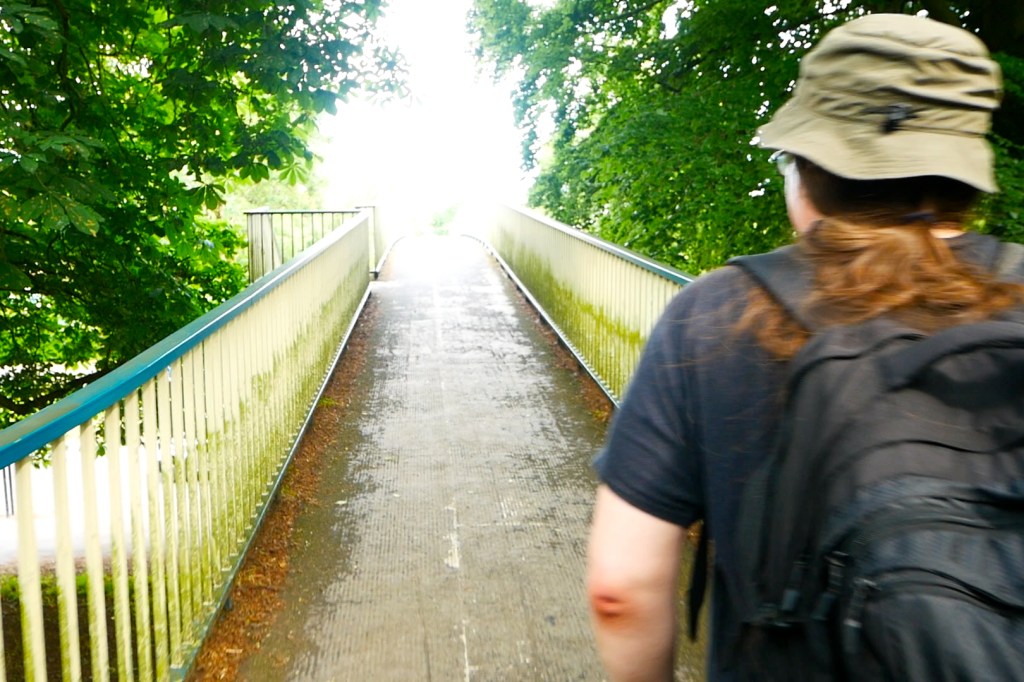
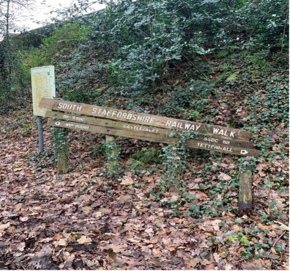
We are finally at the point where we can access the old railway line, by following the canal along Hordern Road Bridge. After some faffing about trying to get down onto the canal, I feel we need to push on and make progress with daylight hours against us. Clive though, is just getting warmed up, his senses awakened by the Suncentre and its surrounds. He wants to stop and do a reading and pulls from his backpack a copy of Anne Dillard’s ‘Pilgrim at Tinker Creek’. After noting how rare it is for him to read a book that carries a recommendation from former Archbishop of Canterbury Rowan Williams on its back cover, he proceeds to read from a section entitled ‘The Present.’ What exactly constitutes the present action, how to decide what is most deserving of your noticing? This is exactly the struggle we are having today, me looking for where I can interject my histories, Clive wanting to take the walk Dillard-like as it comes. I wasn’t present enough at the time of the reading, again casting timid looks up and down and over the canal, too concerned with what people in Whitmore Reans think of Pulitzer Prize prose being read aloud on the towpath.
The canal is the terrain the walk needs at this point. As repurposed places they are hard to beat, perhaps because of how democratically this has happened. They can be approached in the same spirit as Dillard’s thoughts on the present, as ‘a freely given canvas’. No planning permission required. However, I’m in danger of causing its constant ‘ripping apart and washing downstream’, as I’ve come with an over-eager agenda today and its theme starts to persist in the forefront of my mind.
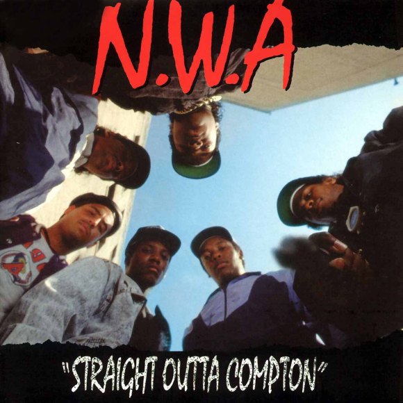
We access the old railway line via an arched bridge, passing a grandad, father and son playing with toy guns. The father is slumped convincingly motionless in the middle of the bridge, and I initially suspect alcohol or madness rather than the play acting of a street shootout. I should have known; we are about to head through the suburb of Compton. While at university in Wolverhampton I remembered the name of this area as it held part of the campus (a business school). I now recall the incongruity of the more famous name of N.W.A.’s LA home associated in my mind with the ‘scream bar’ cosseted culture of my new labour university experience, when I used to crave some sort of transgressive authenticity. I know this Compton campus has long since closed and want to see some evidence of what the building has become. The walk doesn’t want me to go there, and the old railway line affords us no such viewing point. We head straight out of the area.
With university rearing its head, we have entered the dangerous territory of my virginal past, very blank and one dimensional. Not unlike the physical route we take today. Much as we will discover of this path at the end of the walk; we’ll stay on it too long and it won’t want to give us up, golden glow on the horizon, to reality. An unintentional loss of time. We will have to circuitously get back to where we’re supposed to be.
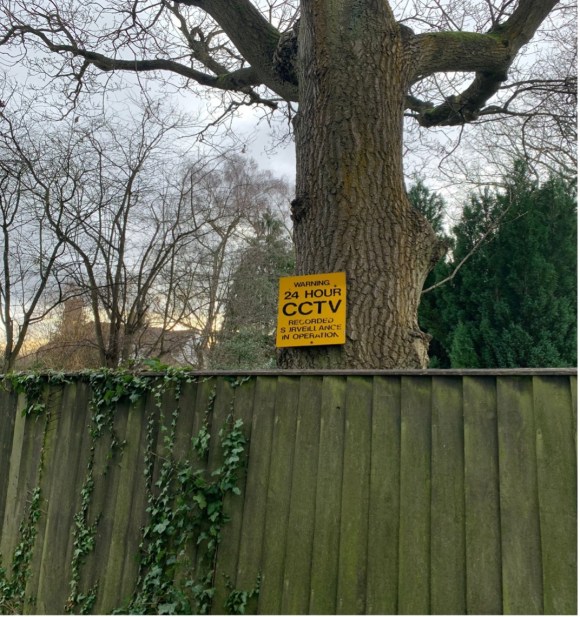
Post-Compton, at this point we come off the line and investigate Castlecroft Gardens to admire (if that is the right word) the work of Major Kenneth Hutchison Smith, who repurposed buildings in the 19th Century from other rural counties in the West Midlands in the hope of creating a utopian ‘village green’ type living quarter in this area west of the industrial city. We count less than five buildings that could remain from this period, so it is clear his project did not get very far. However, the spirit of his idea vampirically lives on amongst the current residents, who live in sizeable dwellings aping the mock Tudor ‘black and white with beams’ aesthetic of the Hutchison originals. Whilst Kenneth may have been originally seeking to set up a golden ticket salve to the realities of industrial working-class life in his lofty ambitions for Castlecroft Gardens, the present atmosphere is a long way from usefulness or industry, being one of pure preservation of exclusivity and bought privilege. Walking through, we would be disappointed not to find that nailed to various old trees are signs such as 24 HOUR CCTV RECORDED SURVEILLANCE IN OPERATION. YOUR ACTIONS ARE BEING RECORDED. In fact, an expansive balcony surveying the garden of one property finds me scanning the scene for Ralph Fiennes as Amon Goth, patrolling Castlecroft with his rifle.
What is the point of this preservation society and what type of life are they protecting? In other words, ‘What’s the frequency now, Kenneth?’ Since I lived in fairly central Birmingham for most of my life before moving to the Black Country around 5 years ago, the ubiquity of these ‘managed’ estates in the satellite town areas of major cities was something I had hitherto failed to notice. They speak so specifically of being ‘a prophylactic tunnel to the isolation zone’ and I worry myself that my young family, by being in proximity to their dangerous radiation, is living a sort of ‘half-life’. I pass through them en-route to work or with my son at weekends with a malignant blankness in my throat. Uncomfortably numb. I don’t drive an Isuzu though, maybe this is where I am going wrong.
After several more miles on the route Clive and I reach the last residential area that our walk passes through, the M Night Shyamalan infused (whatever the horror twist is, it would surely be McGuffined by the arrival of the first Deliveroo McDonalds breakfast) village of Wombourne. It’s no coincidence that here is the only place along the walk that one of the old train stations has been repurposed as a kitschy café. This town is really going in for something earnestly inauthentic, and whatever it is culturally approximates to a cross between David Cameron emerging from his shepherd’s hut, memoirs written, and Ruth Madoc popping to the post office in a scene from ‘Oh Doctor Beeching’.
I return to take a proper look at this example of ‘village life from which the villagers have long been expelled’ on the Sunday before Christmas. The high street is stretched around a large, green, square space with room for tennis courts, cricket pitch and pony. The first sign of life is a lad who can’t be more than 17-18 parking a 4×4 then walking with his girlfriend into ‘Farmer & Friends’ coffee shop. They may well be meeting with pals once inside, but by the look of the sunglasses he wears and the pontiff-like whiteness of the soles of his trainers, I doubt he is an agricultural labourer. The high street brand names which have a presence here also know the audience they are performing for: the ‘Boots Chemist’ sports a wooden swinging board above its shop window with the legend ‘since 1845’, a contrast to the neon-lit stratosphere of a retail park.
Unsurprisingly, through street signage I discover that there is a Wombourne ‘Best Kept Village Committee’, the most notable contribution of it being the ‘Arbour Tree’, planted by the side of the road on the edge of the green centre in 2008: ‘to replace the original Old Tree which stood at this road junction for over a hundred years.’ What happened to this ‘Old Tree’? Maybe the clue is in the phrase ‘road junction.’ I suspect some Cronenberg’s ‘Crash’ influenced local youngster got sick of the cleanliness of their trainer and ploughed into it at speed. It speaks of the odd collective attempt at nostalgia on constant display here that you would want, via committee, to plant a tree to replace one that’s uniqueness was that it was the oldest standing tree in the village. And draw attention to this with a plaque. A ‘Trigger’s broom’ approach to a deliberately artificial hauntology.
The busiest place on that quiet Sunday morning was the butchers, which had a quite spectacularly long queue snaking its way around the corner shopfront. Patrons waited patiently in the cold for the produce, showing to all how discerning they are in who they buy meat from and how the animal they consume has been treated. Is it too fanciful to imagine that if you were to listen closely you might hear someone turn to the next in line and say, ‘have you heard about that pub in Wolverhampton being used as a mosque?’
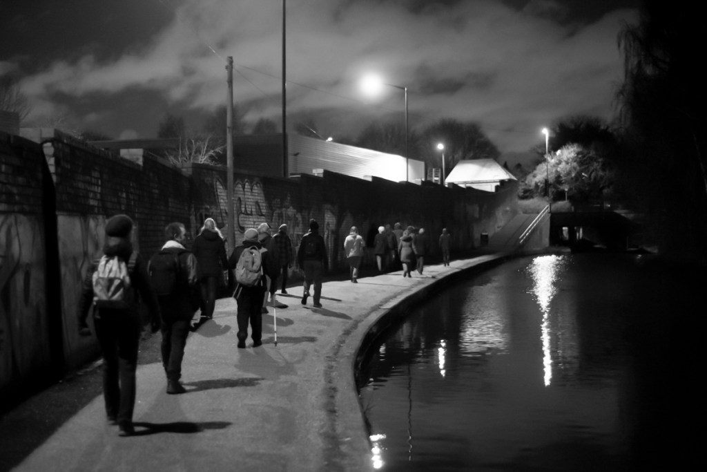
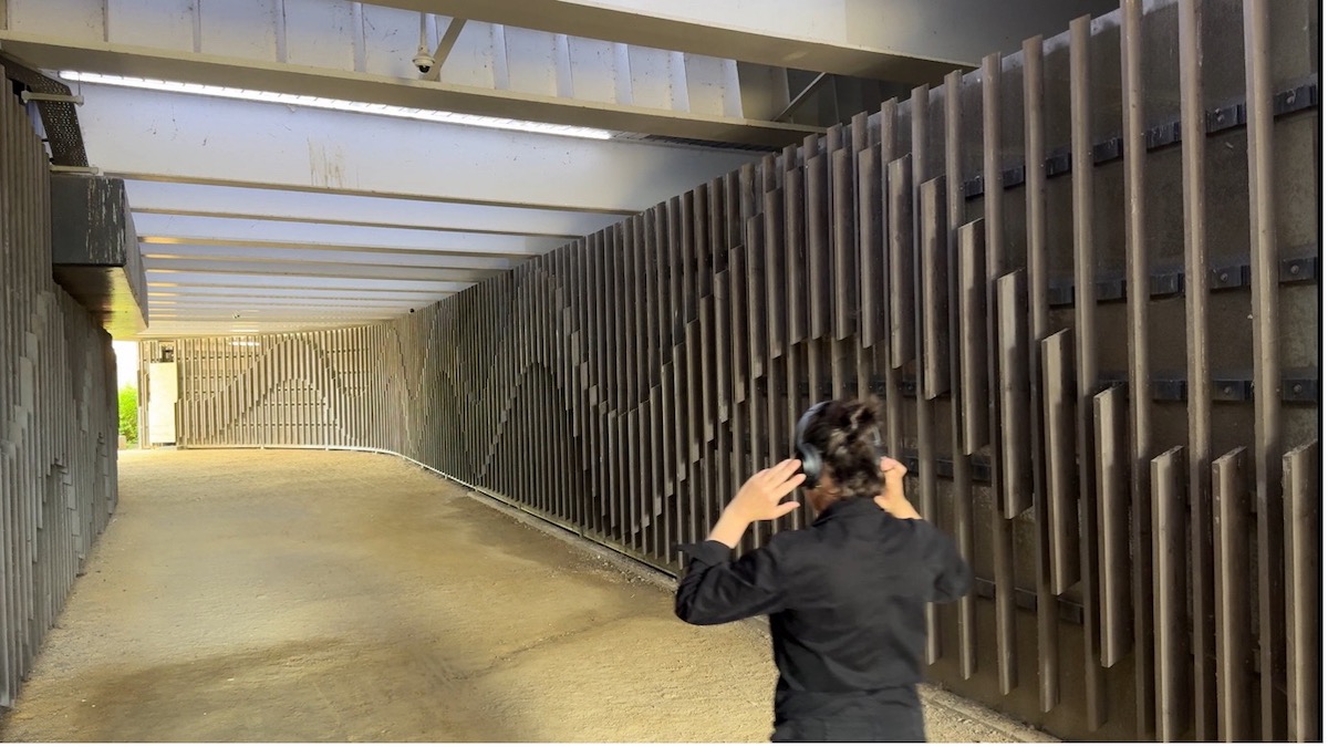
Getting back to the main route, and for the final part of the old railway Clive and I are by now moving with silences stretched out; the constant hum of traffic and bursts of birdsong bringing down the gloaming. The path is interrupted by a series of short, deep-cut bridges, the most infamous of these known as the ‘Wombourne Bridge’. It is this I am looking for to facilitate our departure from the line and bring the day to a close. The sides of those we pass under are covered in forgettable graffiti, but this caused enough of a concern locally for former South Staffordshire and Boris Johnson cabinet MP Gavin Williamson to be photographed in the news next to these daubs, as part of a campaign to protect the ‘Best Kept Village’ reputation. In contrast, no politician has thus far been photographed next to the racist slogans that often appear on the aforementioned ‘Wombourne Bridge’, not hidden below it but put boldly on the sides facing oncoming traffic. In the last year this has meant drivers on the A449 have passed daily under directives such as ‘White Lives Matter’, until they are washed over by the council. I play detective on two fronts for a while, not only keeping an eye out for the bridge itself but speculating if any of the very few people we come across could be the culprit, popping out to walk the dog with a can of (obviously) white paint in the back pocket.
At one point in a small layby, we pass one of those square, silvery, nondescript vehicles, covered in ash and full of bric a brac, that become metal furniture on overgrown driveways. Today though, this one has made an ill-advised journey. The bonnet is up and a fat man who looks a bit like Pavarotti in a worn-out Millets fleece waddles purposefully around the side, adding something from a bottle to one of the apertures in the engine. Could this be the phantom bridge sprayer? In addition, if passionate dog owners can start to look like the breed of the animal they are devoted to, perhaps in the Black Country drivers can take on the appearance of their cars? The ubiquitous half oval peaks of the headgear on speeding cruisers echo spoilers, and there is definitely something reflected back at the Pavarotti man by the shabby coat and squat build of his vehicle. He seems to know what he is doing with the engine though, and we leave him to it, the legacy of expertise of the Sunbeam engineers receding in the distance in the dying daylight.
Not long after, we notice the path isn’t curving towards the road as the OS map suggests it will, and the sky grows ever darker. We give up and google only to find we have missed the racist bridge terminus after all. I want to retrace our steps, but Clive won’t have it, once again his greater confidence in the moment coming through. We plod on, frustrated and sore, hoping the path will release us further up. Eventually, and in almost total darkness, we can make out a fly tipping site that causes Clive to exclaim, with the authority of a millennial Ernest Shackleton: ‘if a car has brought that up, there must be a way down.’ Sure enough, we find here an alternative exit to the one I had planned, a spot which locals have chosen to repurpose as a dumping ground for used household items, rather than for regurgitated xenophobia.
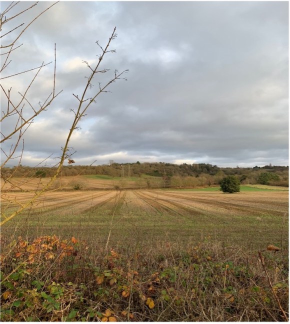
Before we join up with our main road destination for Clive’s Uber back to Birmingham, we pass through a silent industrial estate where large opaque trucks, detached from their cabs, loom out at us like alien objects from the blackness. It’s difficult to know whether this space and many others like it in the region would be any more active in tomorrow’s daylight, or we have just seen it in its permanent ghost-state. Uncertain black belt land. Static haulage, empty receptions.
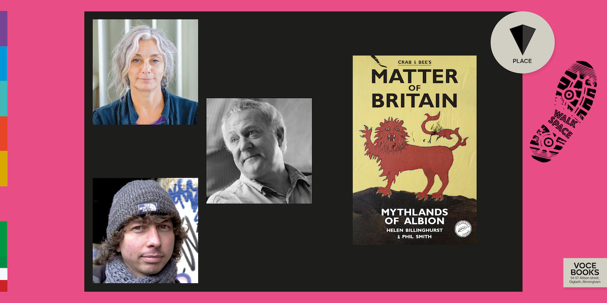
All photos © James Glover